


Glass Dropoff Day
Sat, March 16, 2024, 9am-12pm
St Tammany Parish Gov
21490 Koop Dr
Mandeville, LA 70471
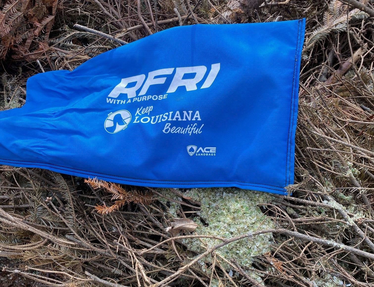
Drop off your glass to build back our beaches! Sign up for glass recycling & receive a free reusable grocery bag. Call 504-415-7186 or email RFRI@charter.net

Derby Day
Sat, April 13, 2024 5:30 - till
Desi Vega's Steakhouse
1950 N Highway 190 Covington, LA 70433
Annual RFRI Gala! Join us for a day at the Races, Derby Style! Call 504-415-7186 or email RFRI@charter.net or Click Here
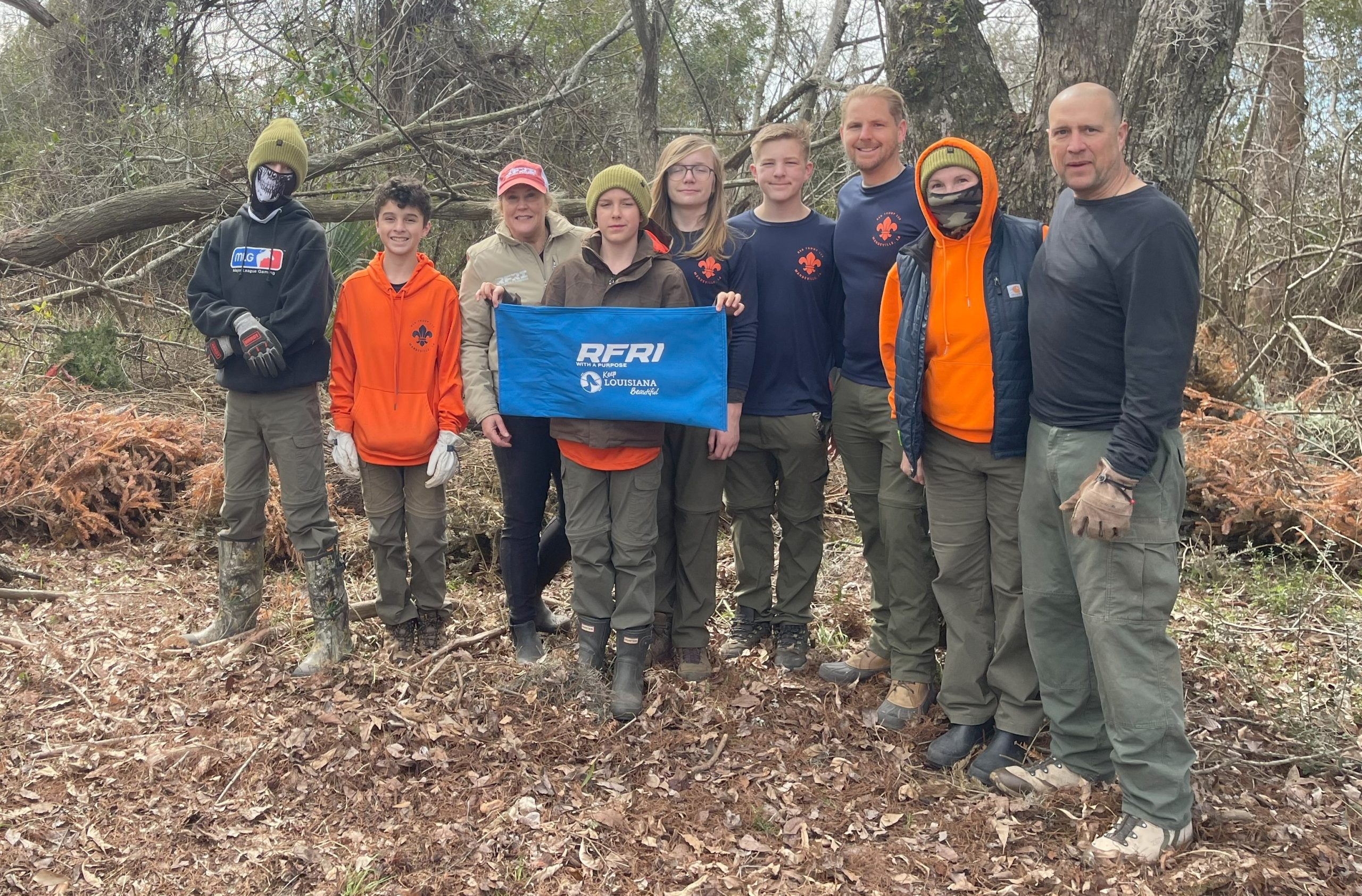
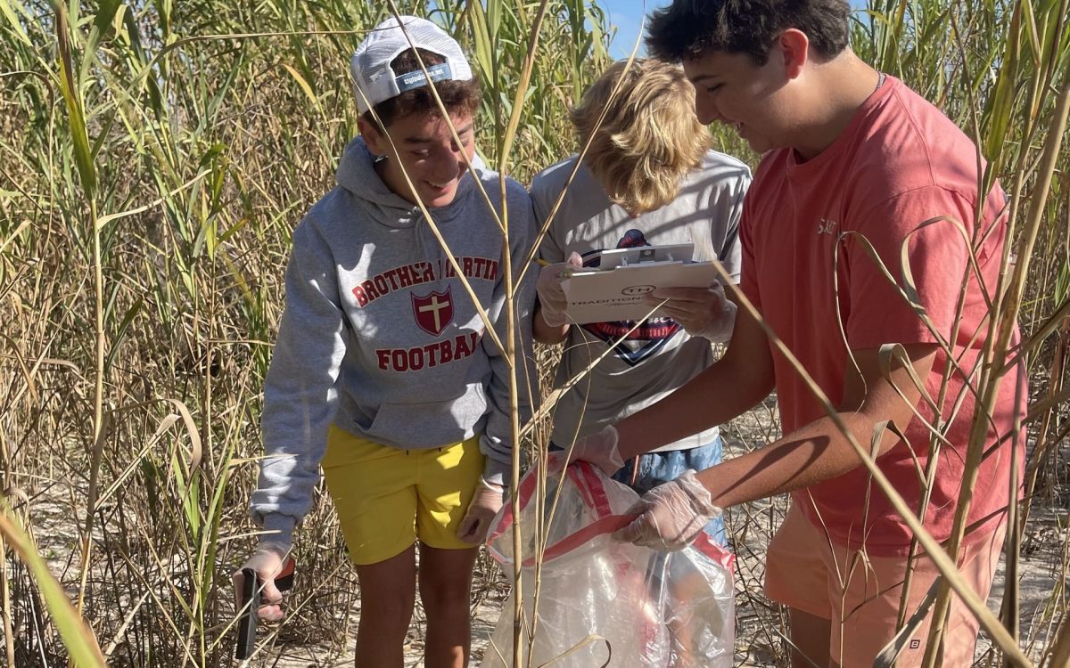
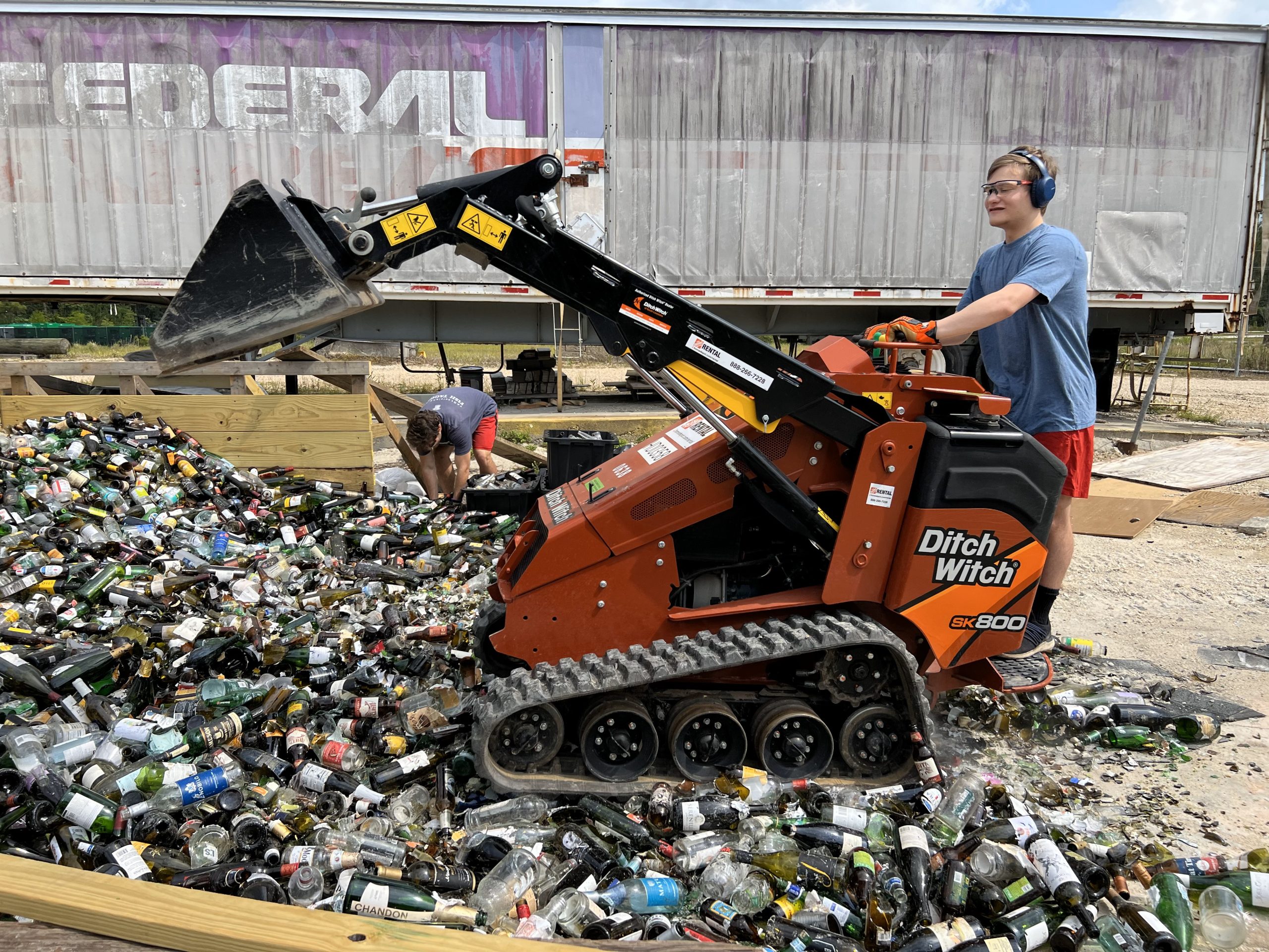
Sandbag Filling!
Thursday, Apr, 2024, 12pm-5pm
Lemon Tree Recycling
322 W 26th Ave
Covington, LA 70433
Come help us fill sand bags with recycled glass! Call 504-415-7186 or email RFRI@charter.net
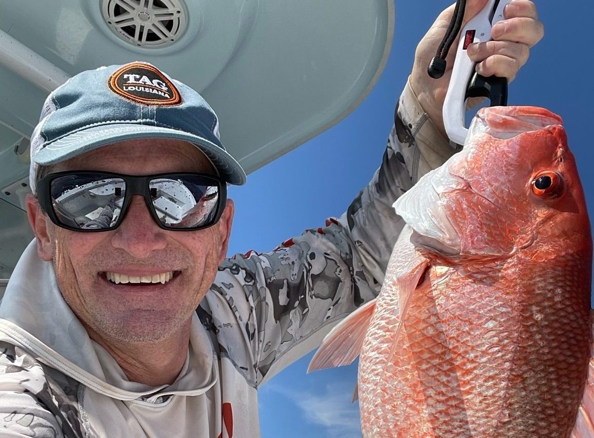
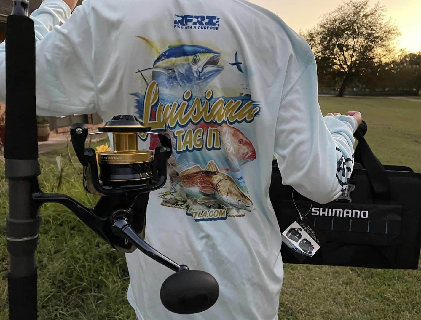
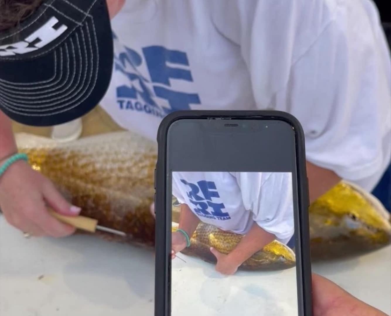
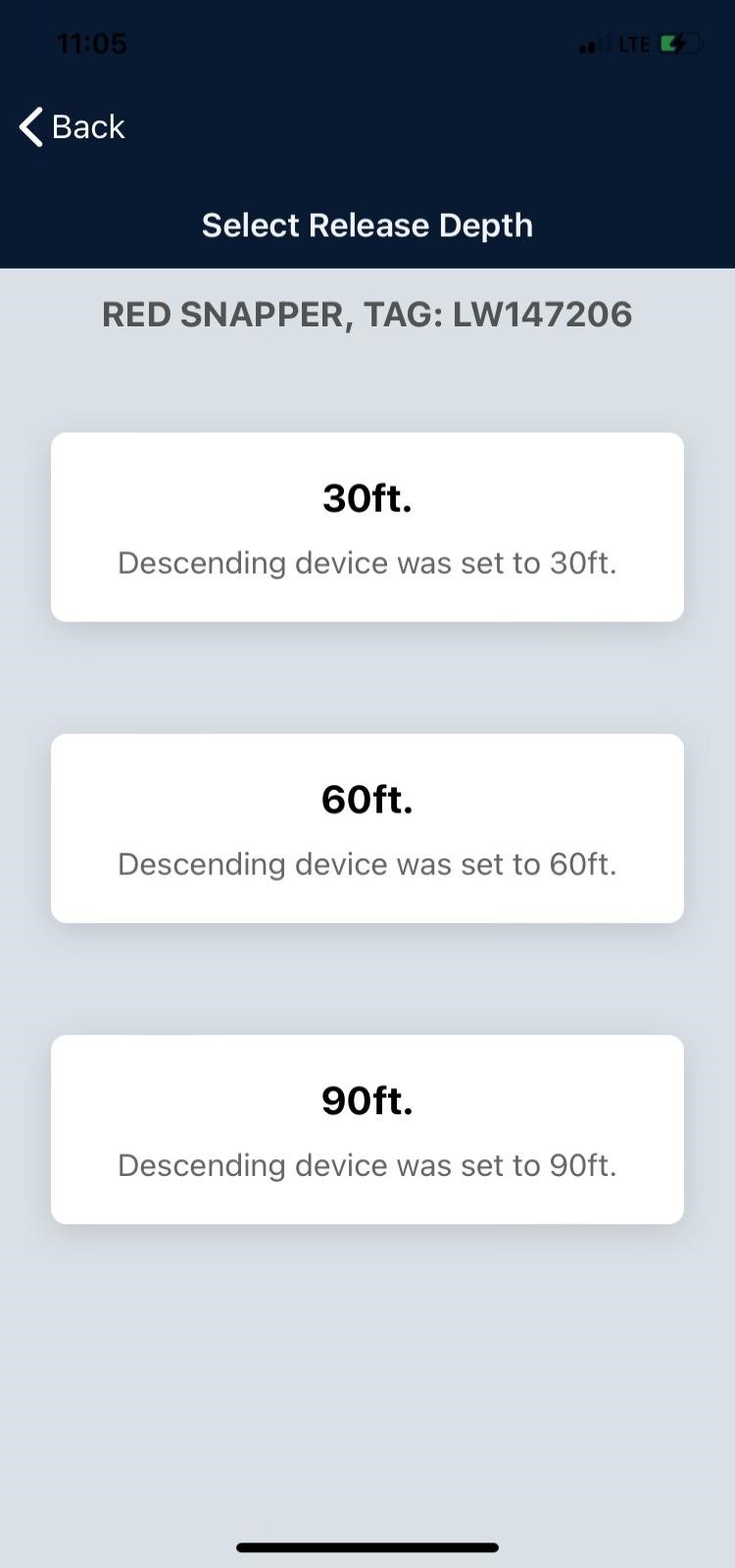
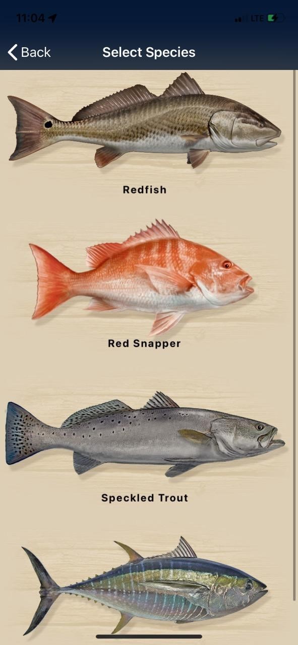
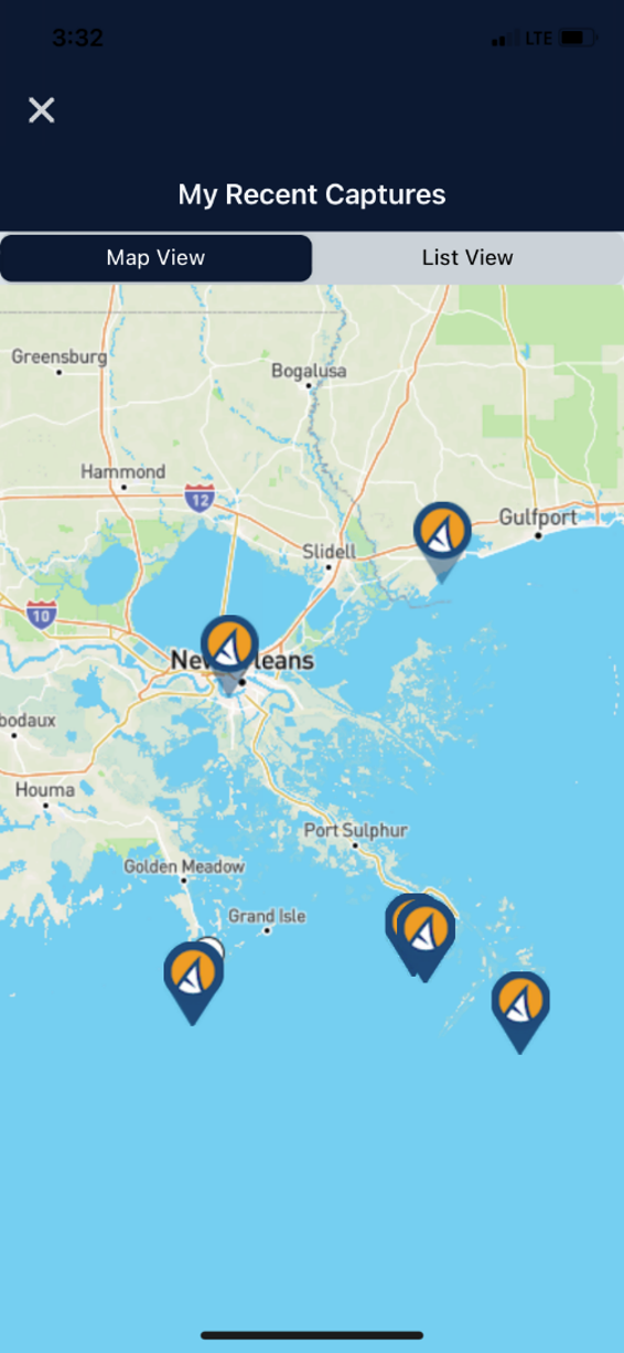
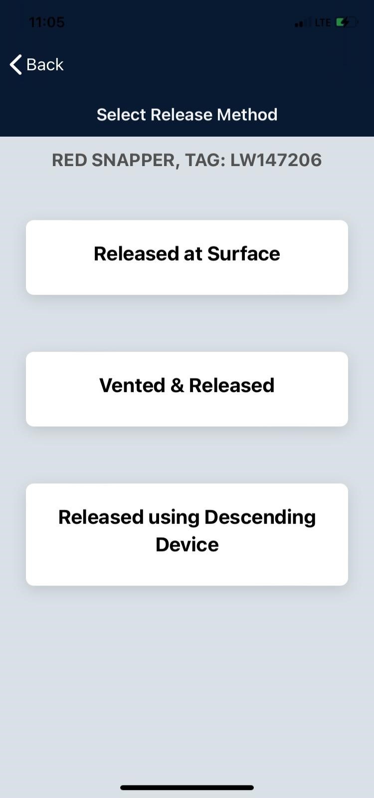
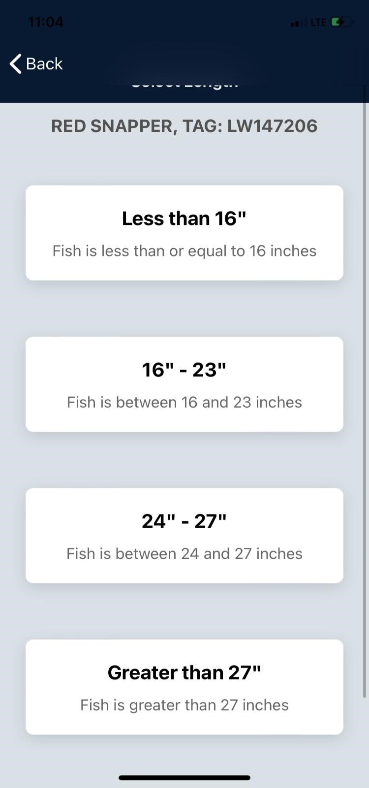
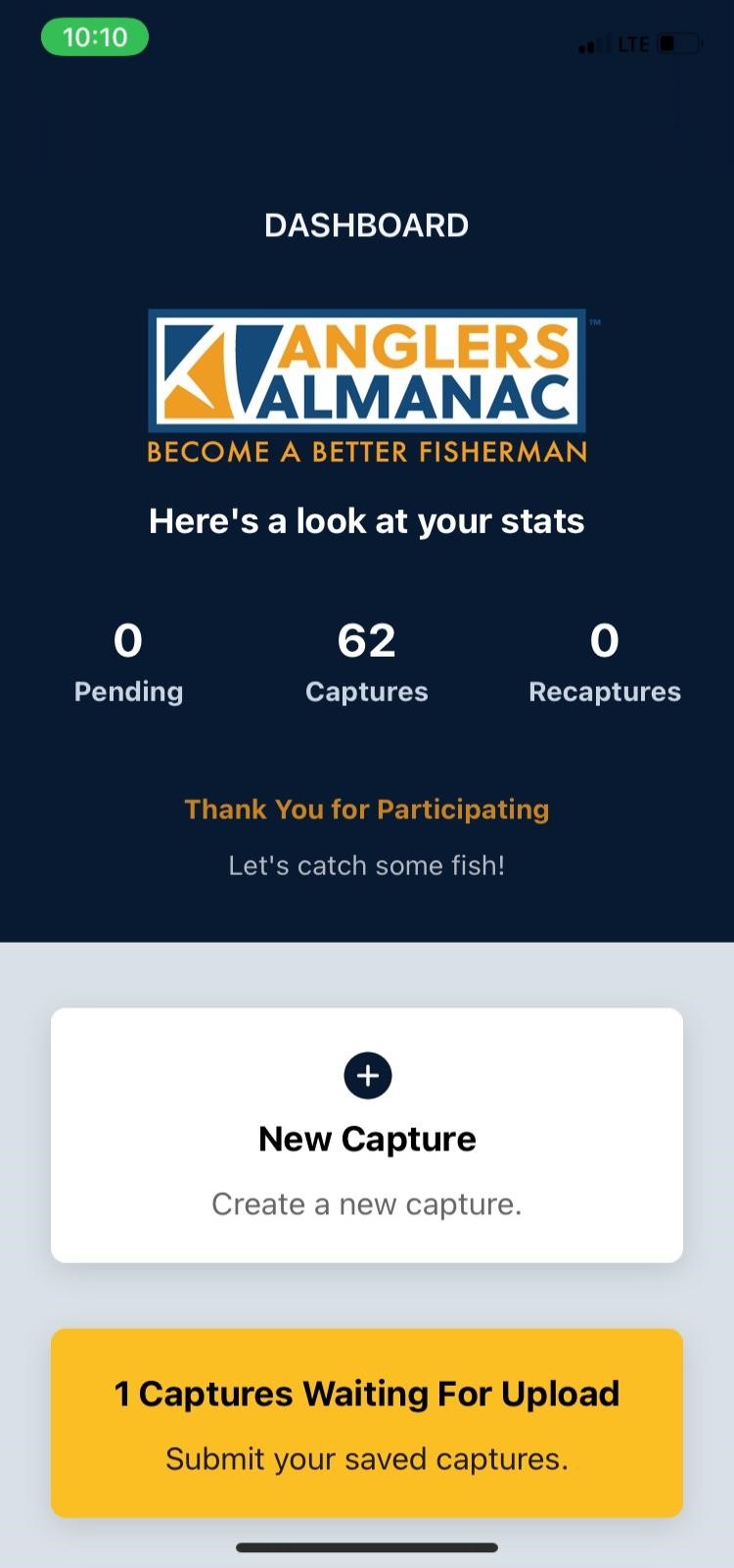
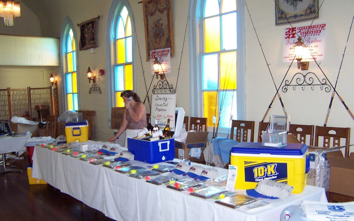
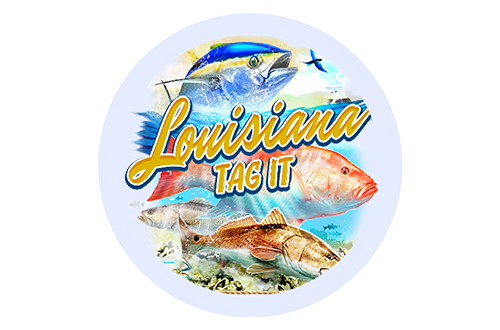
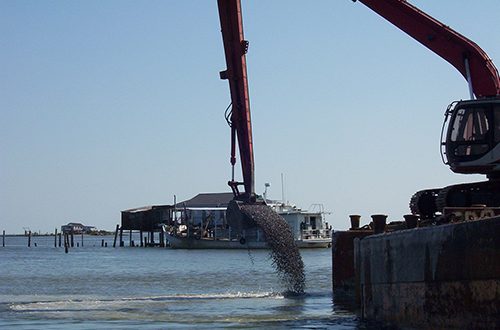
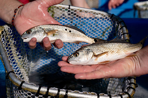
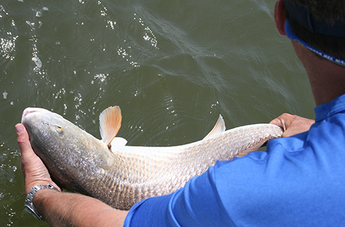
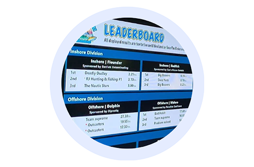
TAG IT Red Snapper Tourney
The 2024 Red Snapper season will begin on Monday, April 15, 2024, season will run 7 days a week with a 4 fish limit & 16-inch minimum length.
Gulf Of Mexico
Call 504-415-7186 or email RFRI@charter.net or Click Here

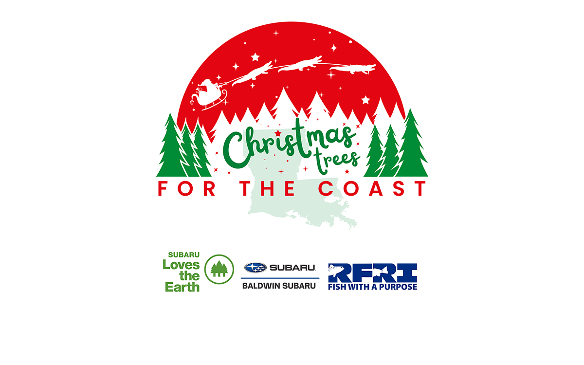
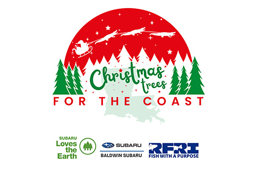
Xmas Tree Deployment
Sunday, Feb, 2025 9am - noon
Fontainebleau State Park 62883 Highway 1089
Mandeville, LA 70448
Come help us deploy Xmas trees to protect our coast! Call 504-415-7186 or email RFRI@charter.net